

Aerial Photo Map of Rogers, MN We put your small town on the map! Want a custom area Aerial Photography Map, we have imagery for the entire USA. Interested in a Street Map of the same area? Interested in digital Aerial Photography so you can make/print your own map? Interested in USGS Topographic Maps also? |
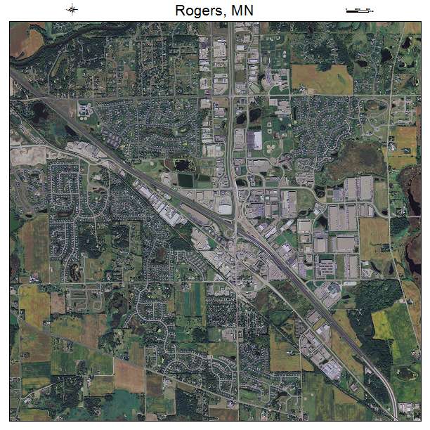
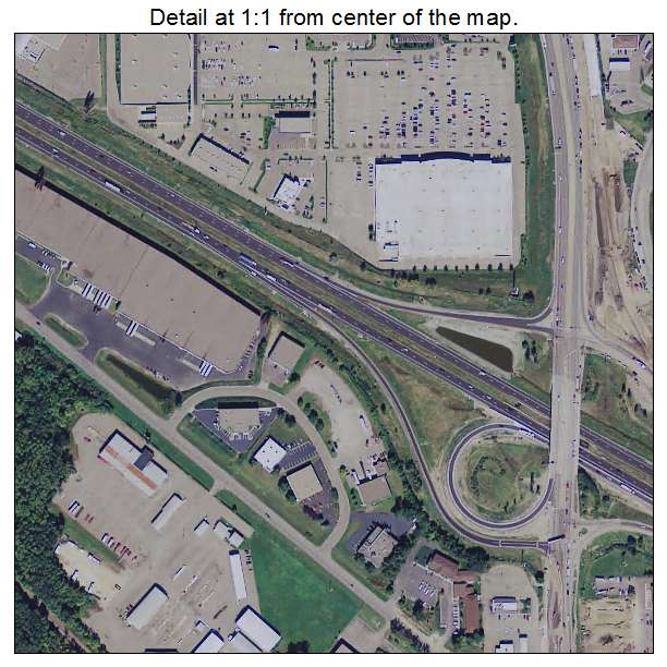
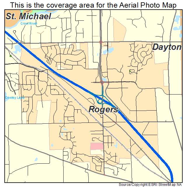
Rogers, MN Minnesota Aerial Photography Map 2021
https://www.landsat.com/rogers-minnesota-aerial-photography-map.html?srsltid=AfmBOopPL63iphX18z16JuKRCzQJJZBk85ILRq0sQF8s9rAz--m0BPsg
2021 Aerial Photography Map of Rogers MN Minnesota
Image Trader
Product ID: APM-2755186
$19.97 New In Stock