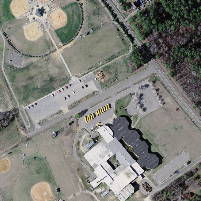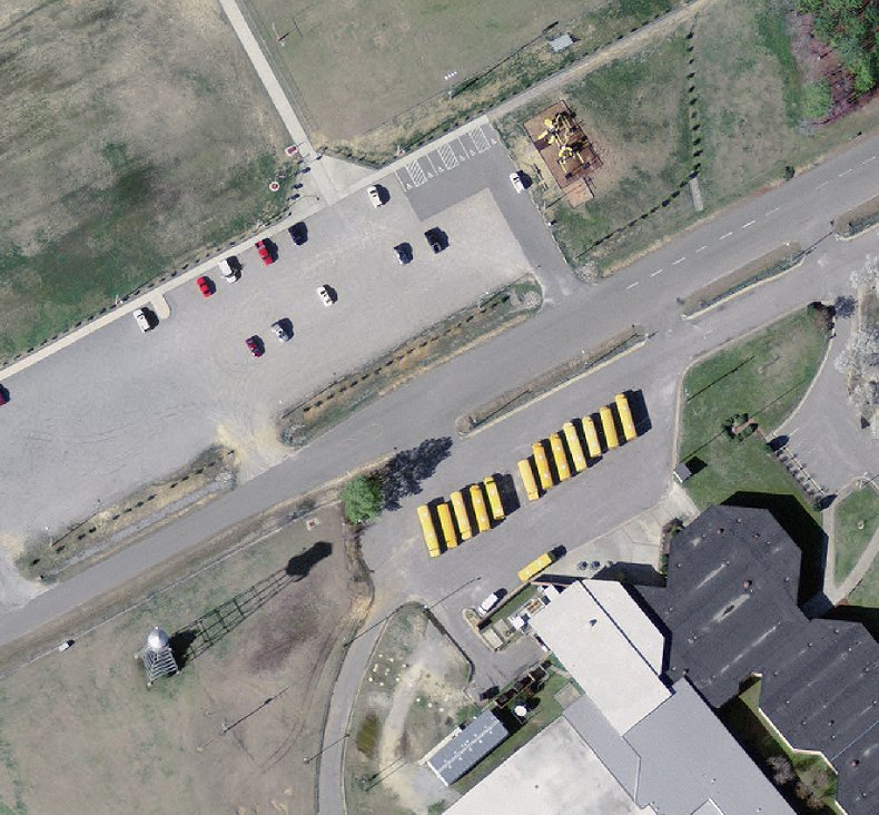
High resolution aerial photo sample from Nash County, NC

Aerial imagery zoomed in! This shows the level of detail you will get for your entire county.
Product Information: 2005 High Resolution Orthoimagery of Lincoln County, NC
For GIS professionals only:
2005 High Resolution Orthoimagery for Lincoln County, North Carolina
https://www.landsat.com/lincoln-county-north-carolina-aerial-imagery-nc6in2005t.html
2005 Aerial Photography of Lincoln County, North Carolina. Imagery compatible for GIS mapping in ArcView & ArcMap.
Image Trader
Product ID: HRC-NC-37109-NC6in2005T
$69.99 New In Stock
