
Aerial Photo Map of Frankfort, KY We put your small town on the map! Want a custom area Aerial Photography Map, we have imagery for the entire USA. Interested in a Street Map of the same area? Interested in digital Aerial Photography so you can make/print your own map? Interested in USGS Topographic Maps also? |
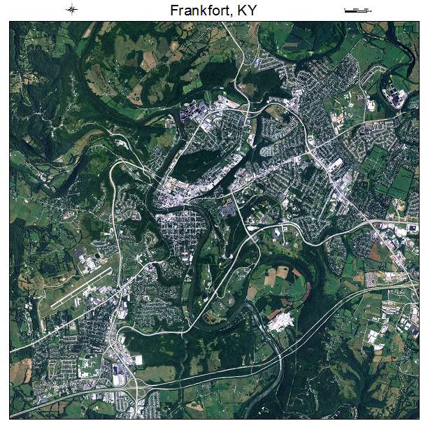

Frankfort, KY Kentucky Aerial Photography Map 2020
https://www.landsat.com/frankfort-kentucky-aerial-photography-map.html?srsltid=AfmBOorl3sJHLmgK5V8NgkQwj4Wjzd76wA4Fs8--B5C5UrVY6Ua1SpPt
2020 Aerial Photography Map of Frankfort KY Kentucky
Image Trader
Product ID: APM-2128900
$19.97 New In Stock